Aconcagua
The highest peak in the Western Hemisphere, in the Andes of Argentina near the border with Chile. 6,959 m is the figure in general use, from Argentina's Military Geographical Institute.
Its exact height has been debated for more than a century: a 2001 GPS survey measured 6,962 m, give or take 5 m.
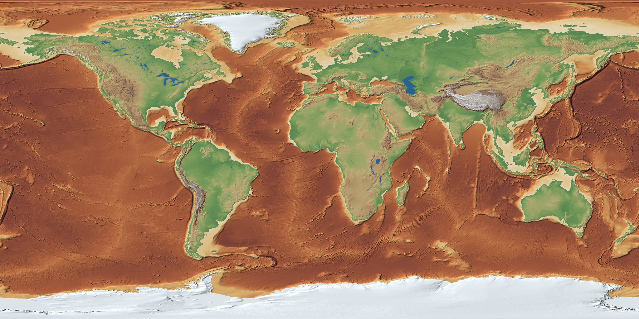
Pull the plug and watch the sea level fall, explore the seafloor as real terrain, find what lies off your own coast, and follow guided stories, from the Ice Age land bridge between England and France to the wreck of the Titanic. Everything is built from GEBCO's grid of the world's ocean floor and land.
The interactive 3D globe needs JavaScript and WebGL 2, which this browser either doesn't support or has switched off. Try a recent version of Chrome, Safari, Firefox or Edge.
Stories
- Walk from England to France: Doggerland in the Ice Age
- Asia to America on foot: Beringia, the Ice Age land bridge
- Where the Titanic rests: 3,800 m down in the North Atlantic
- Drop Everest into the Mariana Trench: And watch it disappear
- The longest mountain range on Earth: is underwater: the mid-ocean ridge
Places
- Challenger Deep
- Mid-Atlantic Ridge
- Hawaiian–Emperor seamounts
- Puerto Rico Trench
- Kerguelen Plateau
- Titanic wreck site
- Monterey Canyon
- East Pacific Rise